Instrumentation of Fishing Gear
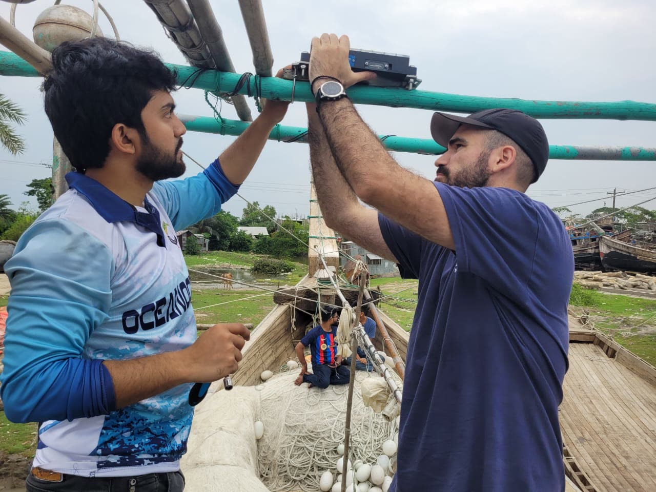
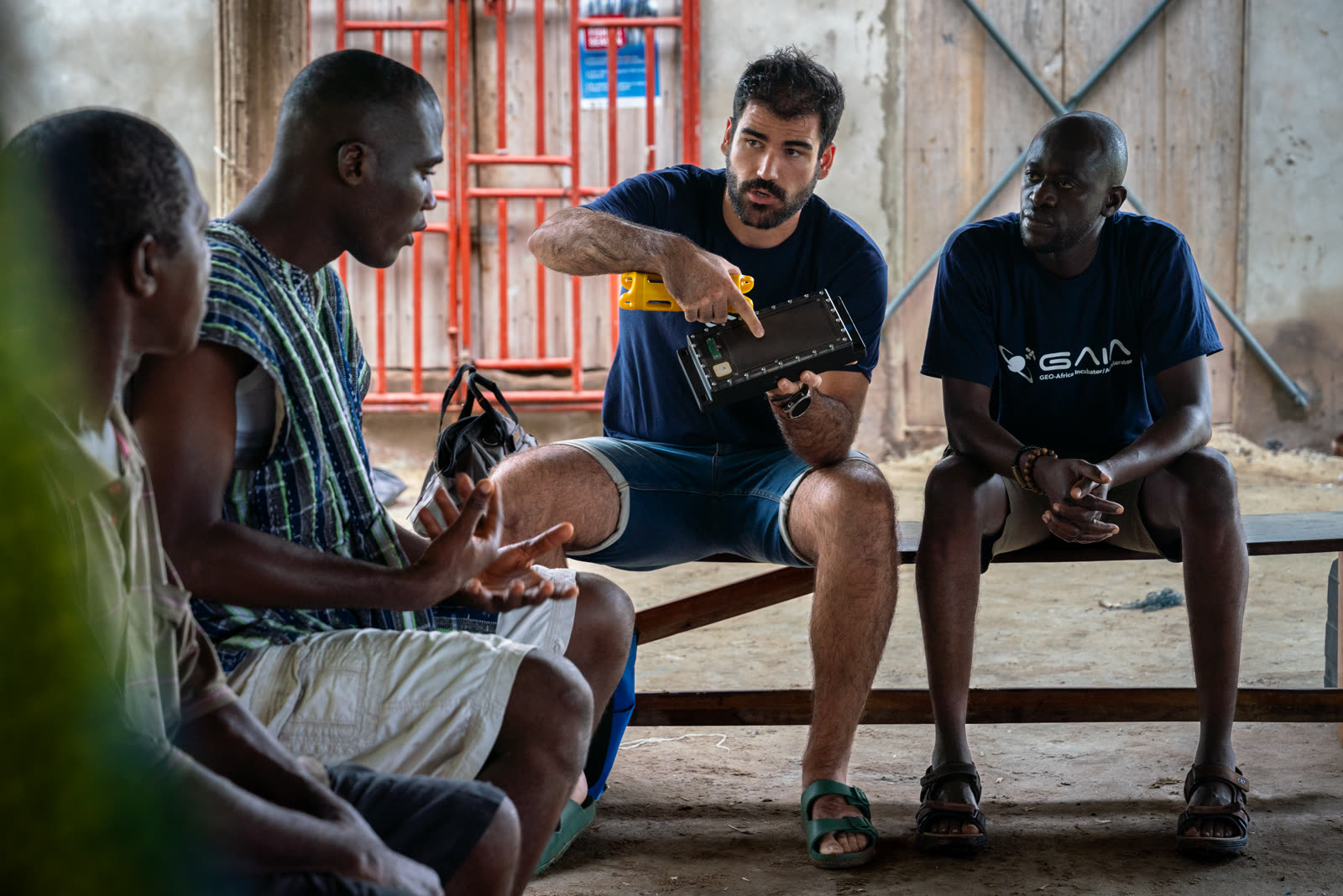
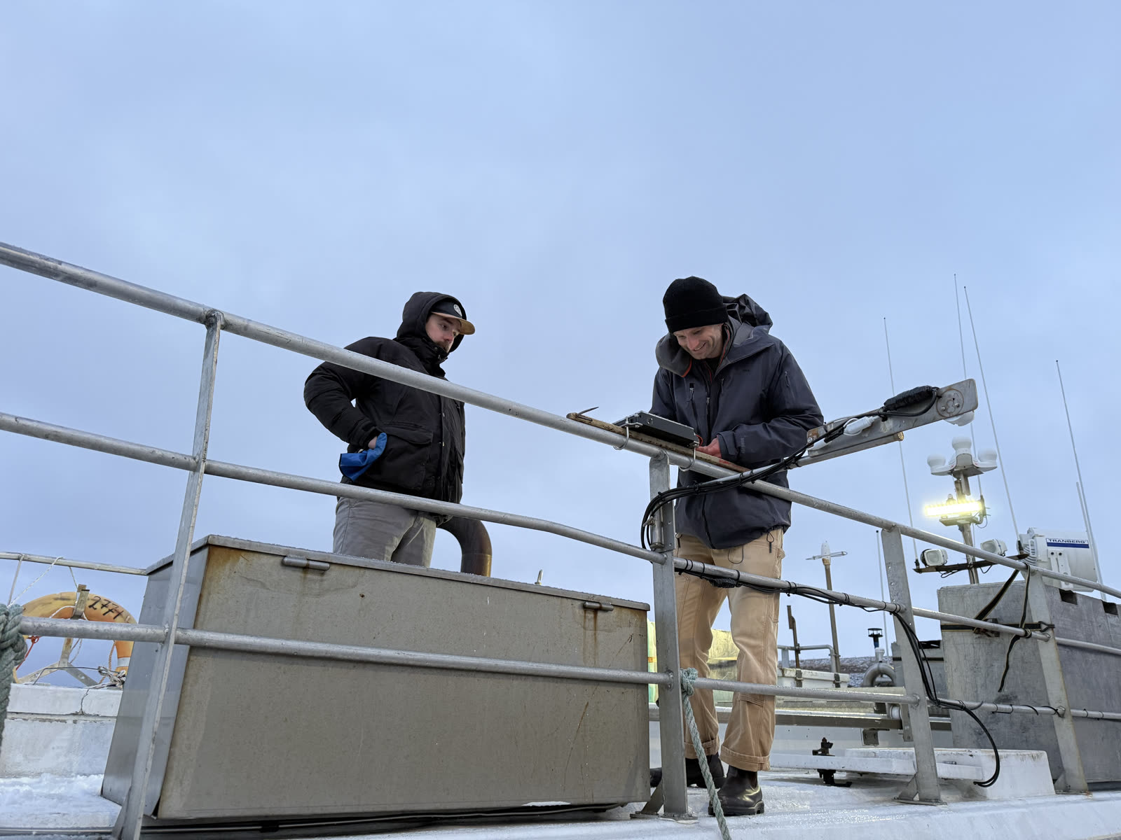
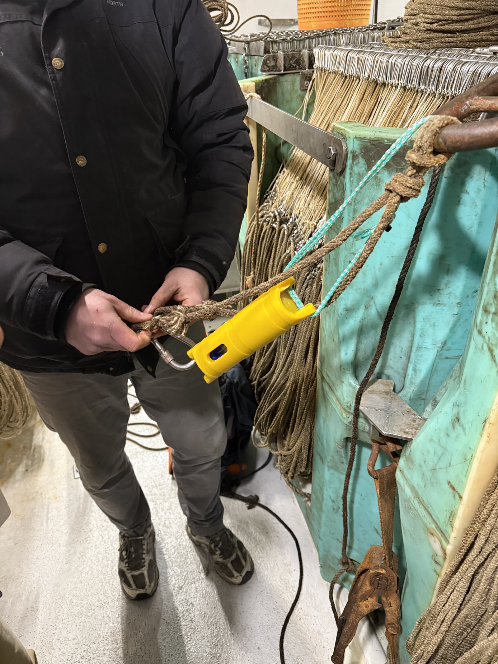
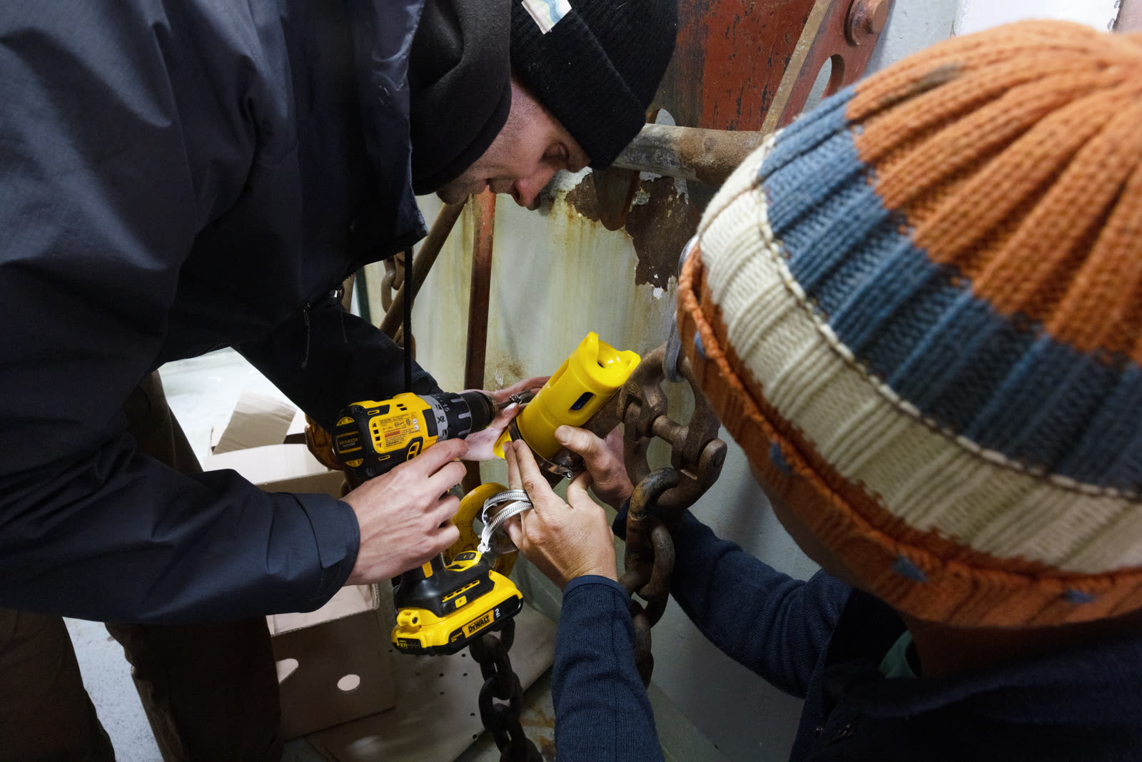
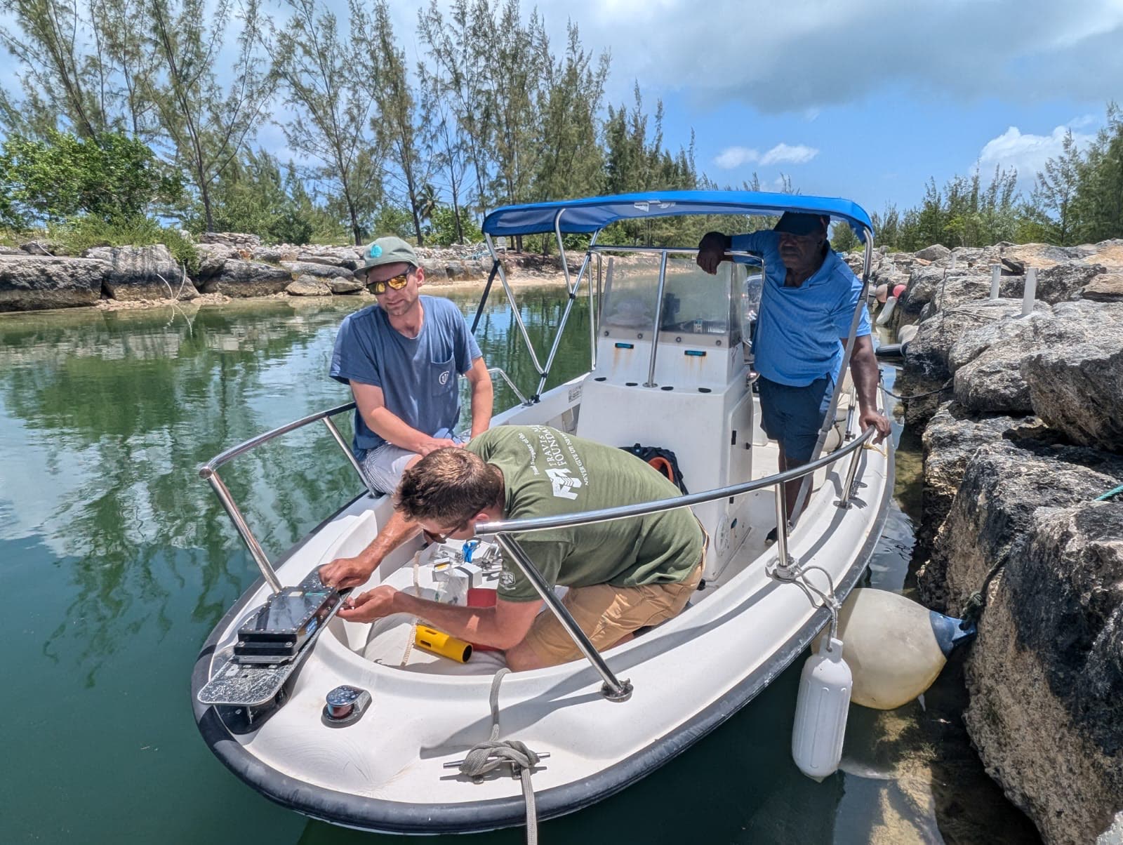
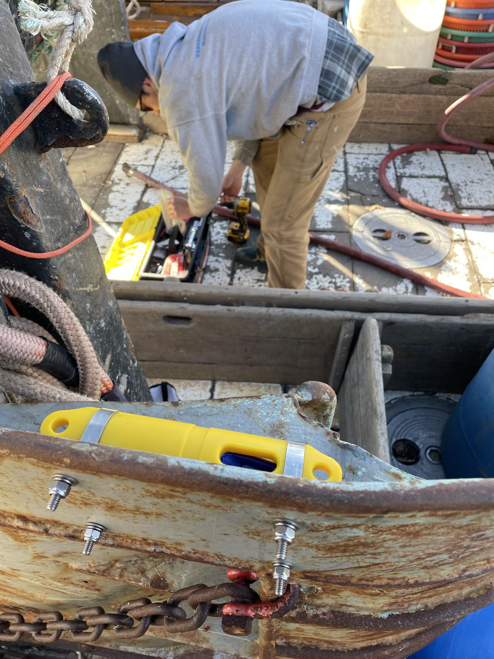
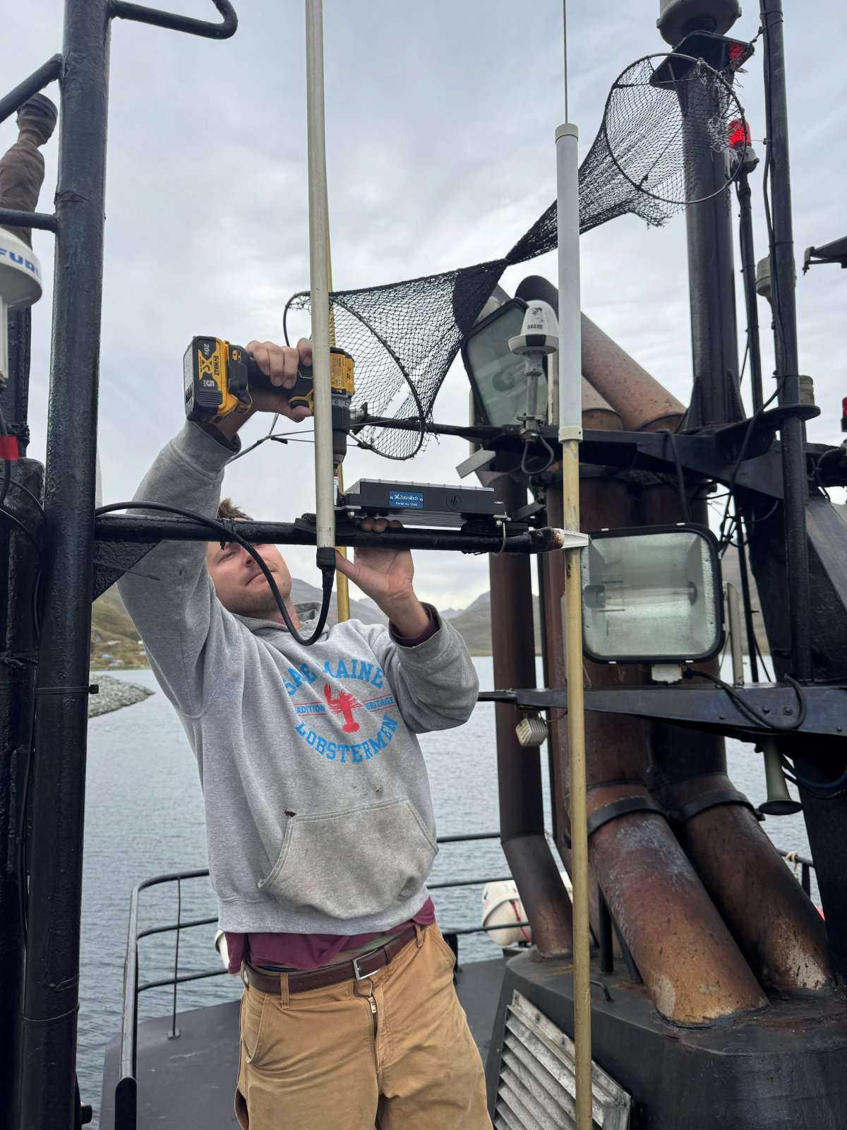
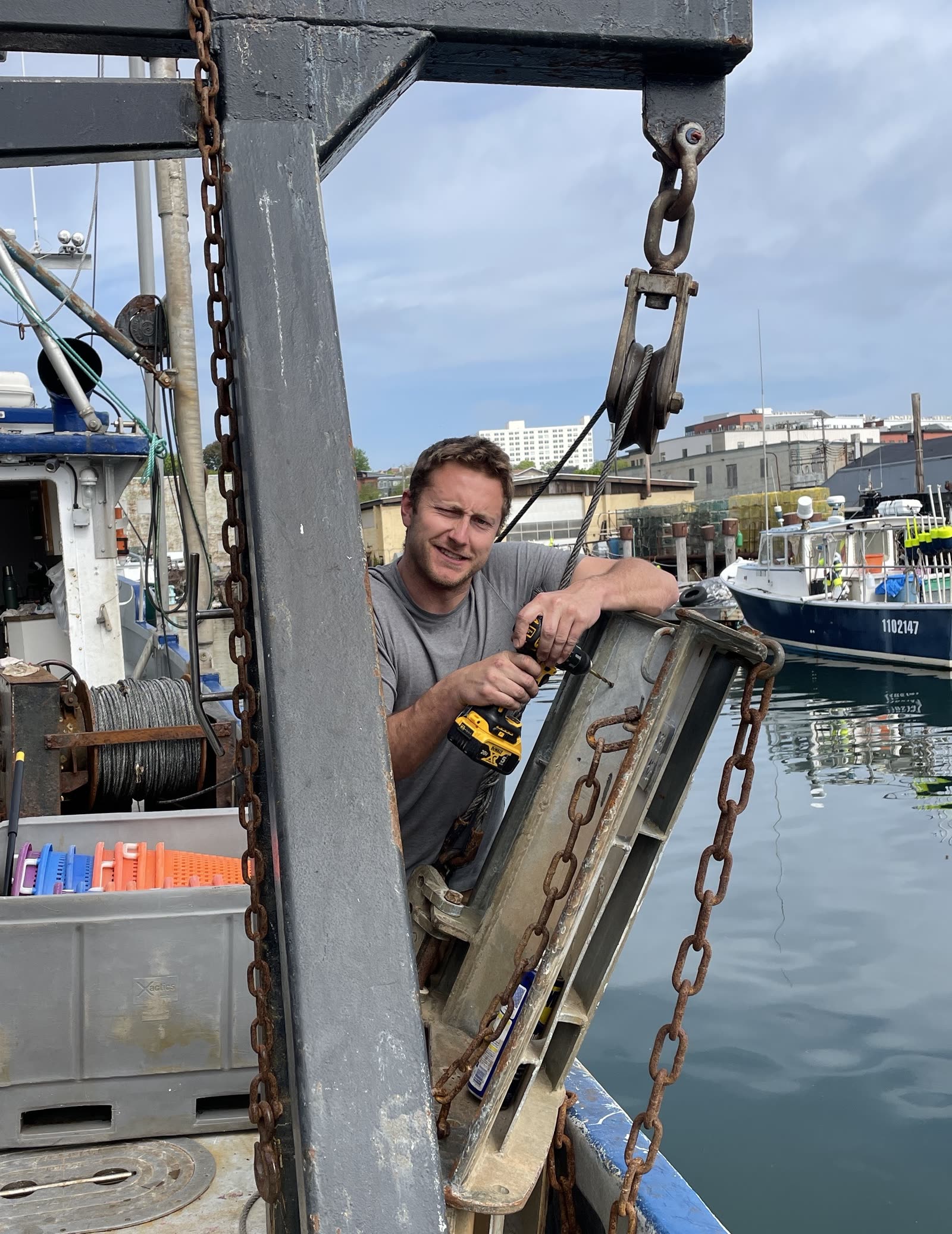
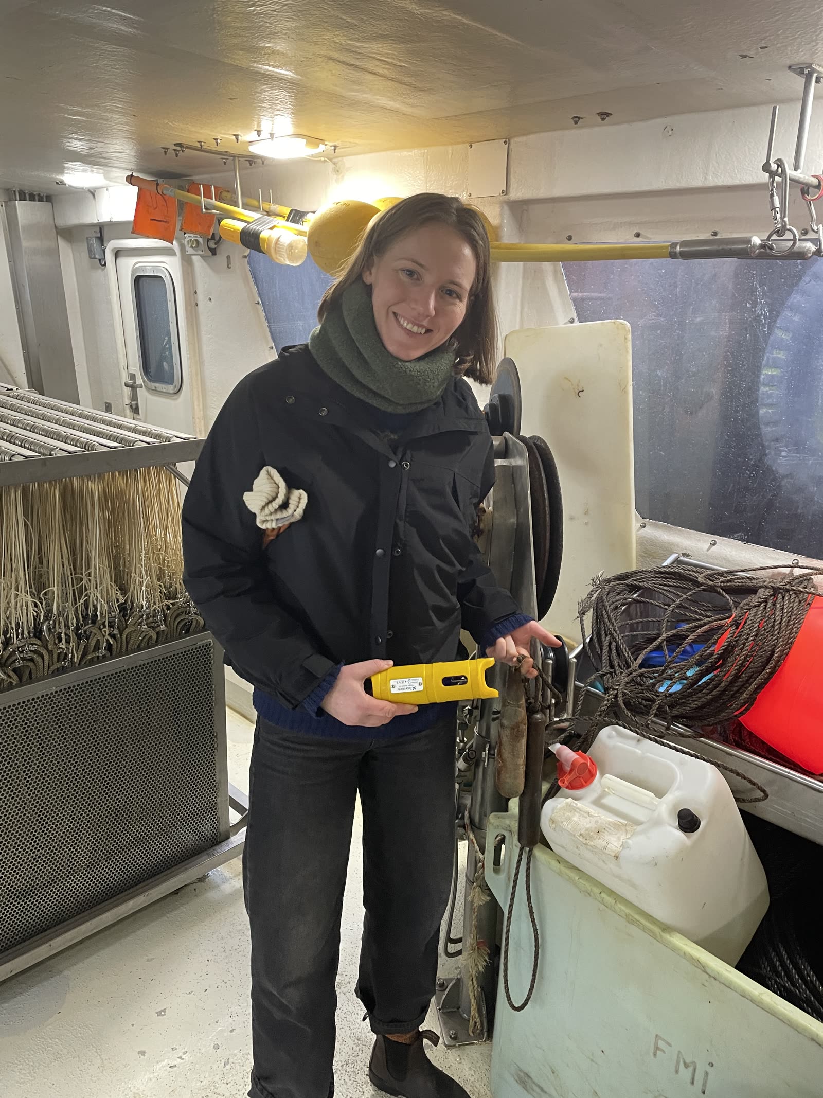
We have extensive experience with the integration of several different instrument providers for fishing gear profiling sensors, along with surface weather instrumentation. We are the North American and European distributor for ZebraTech Moana systems; however, we work with multiple equipment suppliers as shown below and will always recommend the best tool for the job.
Lowell Instruments LLC
- Temperature / Depth
- Dissolved Oxygen / Temperature
- Conductivity / Temperature / Depth coming soon





Fishing Industry Tools and Analytics
Fishing and Ocean Analytics
Every vessel outfitted with oceanographic instrumentation has access to their data via our web-based portal. Portal features include:
- An interactive map showing all historical sets with location, set time, average bottom temperature, and average fishing depth
- Profile selector graph showing the water-column temperature structure during set and haul back, plus average/max/min fishing depth and average/max/min fishing temperature
- Curtain plot showing the water-column thermal structure over the course of the season, with the option to filter by date
- A time series plotting bottom temperature over the course of the season, with the option to filter by date
"I use it on a daily basis to check the temperatures where I am fishing… When I am doing exploratory sets I am setting across a range in different areas of the Bering Sea and then making note of the temperatures that I am seeing and the catch that I am getting. From this I can deduce the temperature that the cod are liking and whether I am going in the direction of too hot or too cold and what direction I want to go for my next set."
Gannet Analytics Purse Seine Performance System
PatentedIn collaboration with Gannet Nets, ODN offers a proprietary seine net performance analytics tool featuring near real-time, haul-by-haul feedback on net performance in the water column. This data can be used to adjust fishing operations in real time as well as to modify net designs to maximise the volume of water column fished, leading to significant increases in catch efficiency. All the steps of the system are automatic and do not interrupt fishing operations.
System components
- 15 to 30 pressure-activated depth sensors with automatic Bluetooth offload, affixed to the lead line or throughout the meshes depending on the customer's preference
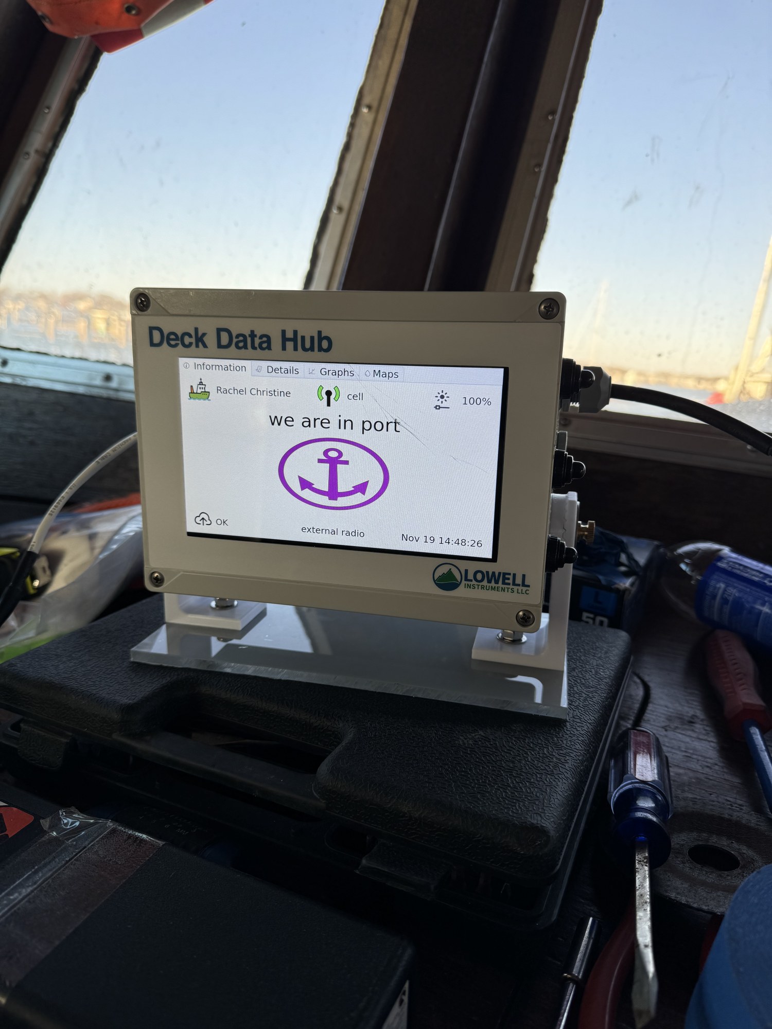
- Onboard receiving unit to catch sensor data and transmit it to the cloud for processing via cellular or WiFi offload
- Web-based data visualisation portal to view 2D and 3D animations of sets
"The system paid for itself in a morning. By knowing exactly what depth I was pursing at, I was able to fish where no one else could set."
"I was able to catch […] more tons in one day […] 12 tons more per week."
Testimonial to be added.
Bottom temperature forecasts coming soon
Building on the bottom temperature observations collected across our networks, we are developing short-range forecasts of bottom temperature so captains and managers can anticipate how conditions on the fishing grounds are likely to change in the days ahead.
Data Management
We provide the full data chain of solutions: from secure, efficient relational cloud storage and metadata stewardship to real-time data delivery into operational data pipelines such as the WMO-GTS, meeting FVON and GOOS standards.
At Vessel
- Temperature
- Depth
- Vessel ID
- Timestamp
Deck Unit
- Receive BLE
- Add GPS
- Package data
- Queue upload
Cloud Server
- Measurements
- GPS location
- Vessel ID
- Timestamps
Cloud Processing
- Receive data
- Store raw files
- Trigger pipeline
- Log events
Relational Database
- Calibrated data
- Full metadata
- CF-compliant
- Linked info
DB Processing
- Parse data
- Apply calibration
- Add metadata
- Insert to DB
Materialized Tables
- Hourly averages
- Daily stats
- Aggregates
- Indexed
DB Optimization
- Create views
- Auto-refresh
- Aggregate data
- Build indices
QC Dataset
- Measurements
- Automatic QC tests
- Quality flags
- Distribution ready
QC Standards
- QARTOD
- Argo
- SeaDataNet
GTS Server
- SFTP protocol
- WMO format
- QC + metadata
- Real-time
ERDDAP Servers
- HTTP API
- NetCDF/CSV
- CF conventions
- Public access
Private Portal
- Authenticated
- Visualizations
- Real-time data
- Custom exports
Custom Solutions
- Custom formats
- API access
- Special reports
- Integration
Fleet and Network Management Tools
Fleet Management
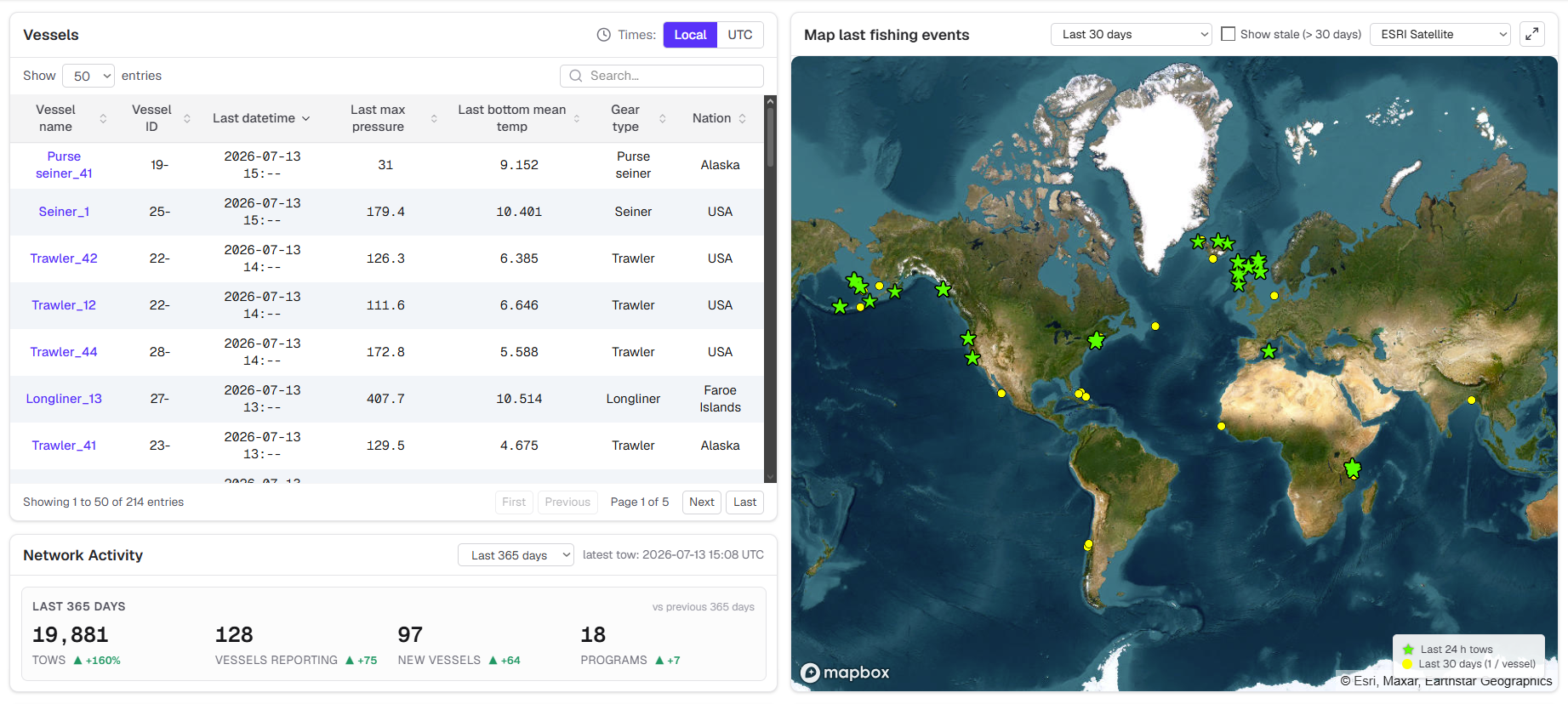
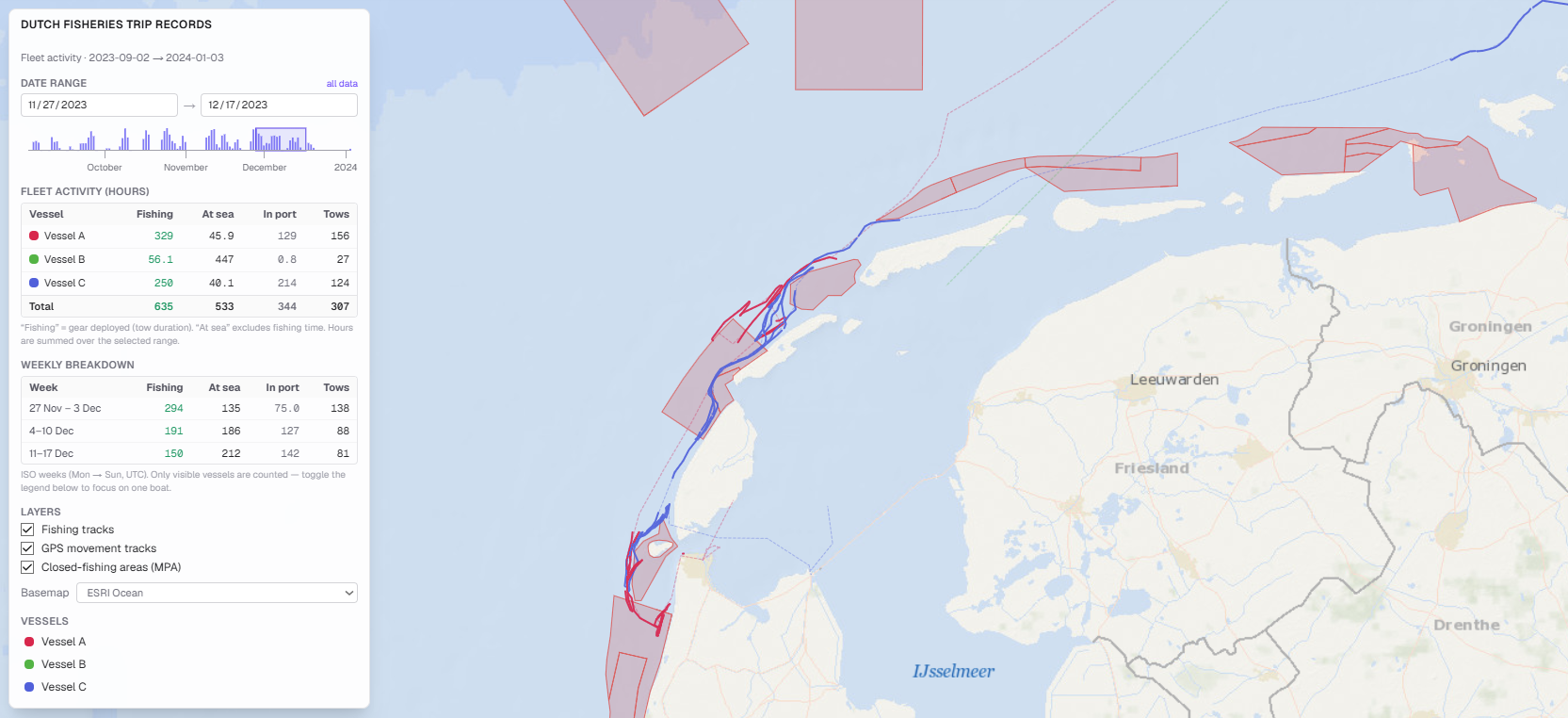
Fleet managers have access to a fleet-wide portal to track individual vessel performance and identify the most productive areas of the fishing grounds in near real time. This portal features:
- Up-to-date location and fishing activity of every vessel in the fleet, with precise gear-in / gear-out information
- Optional overlay of the bottom-temperature gridded map
- Flexible field(s) for users to record their own relevant information such as trip information, catch, and more
Bottom temperature gridded data products
For vessels that are part of regional networks associated with the same project, fishing-industry representative body, or co-op, we offer network-wide maps featuring up-to-date aggregated data collected by all vessels in the network in an anonymised, gridded format. This protects precise location and vessel identification while giving participants a broader picture of how bottom temperatures vary throughout their fishing grounds. These maps also include observations from all other publicly available oceanographic sensing assets operating in the region.