Climate Monitoring
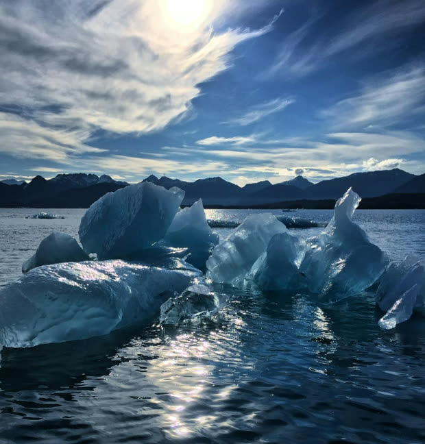
The ocean absorbs more than 90% of the excess heat trapped by climate change and provides roughly a third of the planet's carbon sequestration capacity, yet in the coastal seas where many key ocean-climate processes begin, we are largely flying blind. Even well-resourced nations are data-poor in their own coastal waters, and the developing countries facing the sharpest edge of climate change lag further behind. Subsurface data collected by fishing vessels is a cost-effective solution, delivering spatial and temporal coverage at a price point no other subsurface network can match. This novel data richness in shelf and coastal seas is feeding the data-hungry AI/ML ocean and climate models of the future.
Weather & Ocean Forecasting
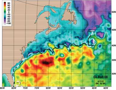
Despite covering more than 70% of Earth's surface, the ocean is woefully under-measured, especially in the coastal zone, the very waters where most of the world's fishing fleets operate. Those fleets are a ready-made platform to multiply met-ocean observations by 10 to 100 times. ODN translates the diversity of fishing practices into standardized, well-documented data that feeds directly into operational models and analyses. As AI/ML pushes forecasts to ever-higher resolution and longer forecast time horizons, high-density fishing-vessel observations supply the initial conditions these models are starving for, unlocking a new understanding of the characteristics and processes of the coastal ocean.
Tropical Cyclones & Extreme Events
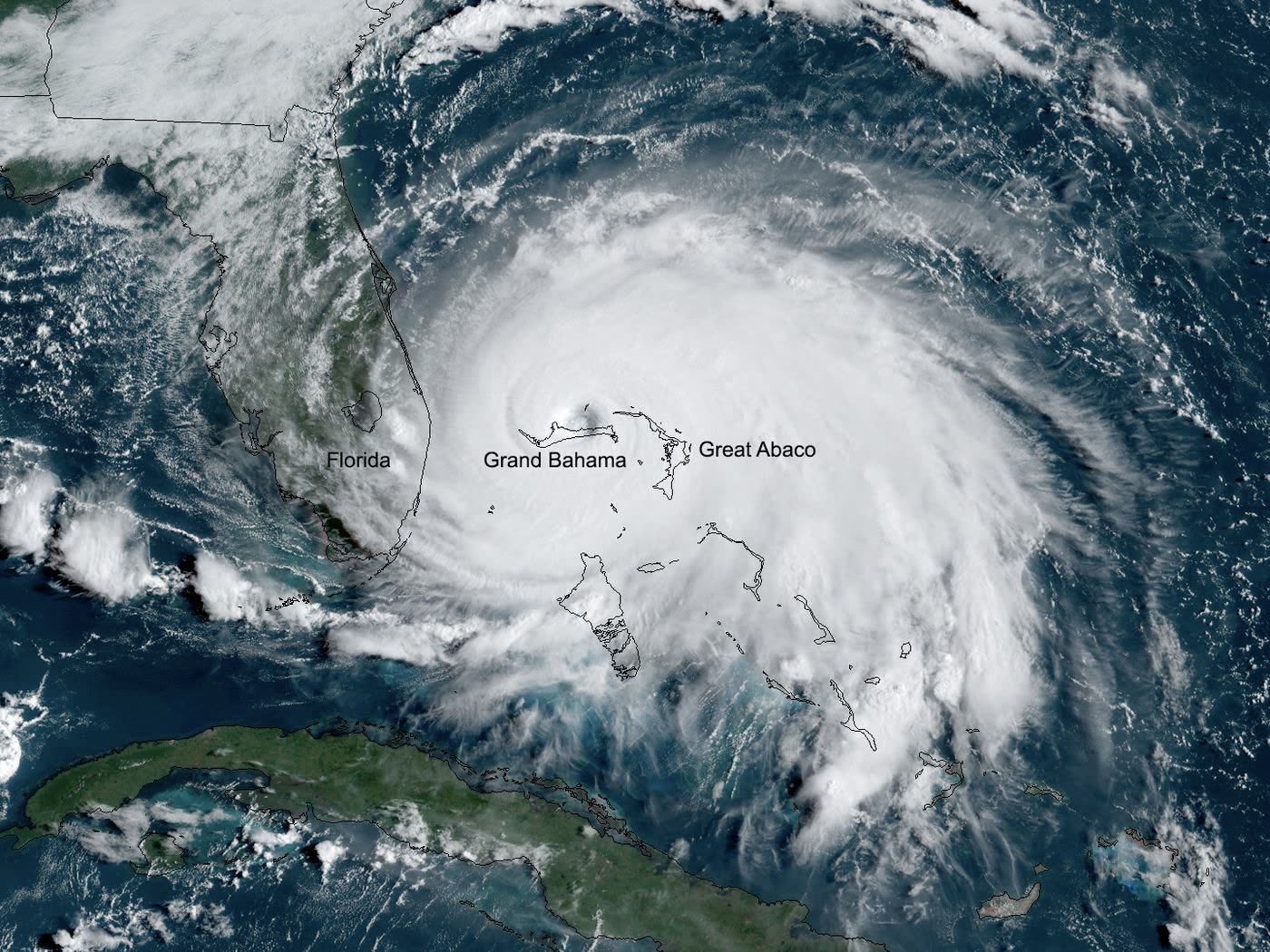
Rapid intensification, when a storm's winds increase dramatically in the hours before landfall (the so-called "last mile" forecast), is one of the hardest problems in hurricane forecasting, and it is driven largely by heat stored beneath the sea surface. Satellites can measure surface temperature but not the subsurface heat reservoir that fuels a storm, leaving forecasters with a critical blind spot in exactly the near-shore waters where fishing vessels work every day. By streaming subsurface temperature from these vessels into operational forecast models, ODN networks help close that gap, sharpening predictions of storm track and intensity to give coastal communities the critical information they need in the days and hours leading up to a storm making landfall. The same observations strengthen early warning for other extreme events, including marine heatwaves, harmful algal blooms and the hypoxia they can trigger, and storm surge, all of which increasingly threaten lives, livelihoods, and ecosystems as the climate warms.
Fisheries
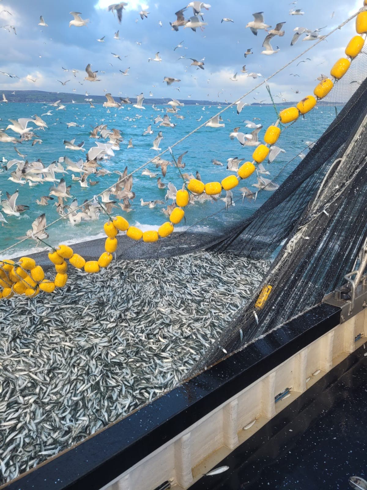
Knowing the actual environmental conditions where fish live is the foundation of dynamic, ecosystem-based fisheries management. Unlike other ocean observation technologies, sensors on fishing gear monitor ecosystem conditions directly where the fish are, providing the in-situ measurements needed to validate and correct subsurface models used by fisheries managers. These data streams enable more selective fishing practices, better stock assessments and management plans, and reduced bycatch and environmental impact, advancing both the ecological health and the economic resilience of fisheries and the communities that depend on them.