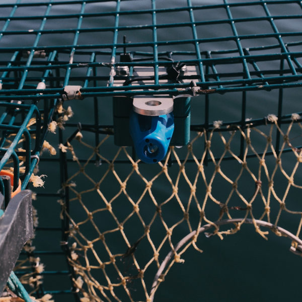
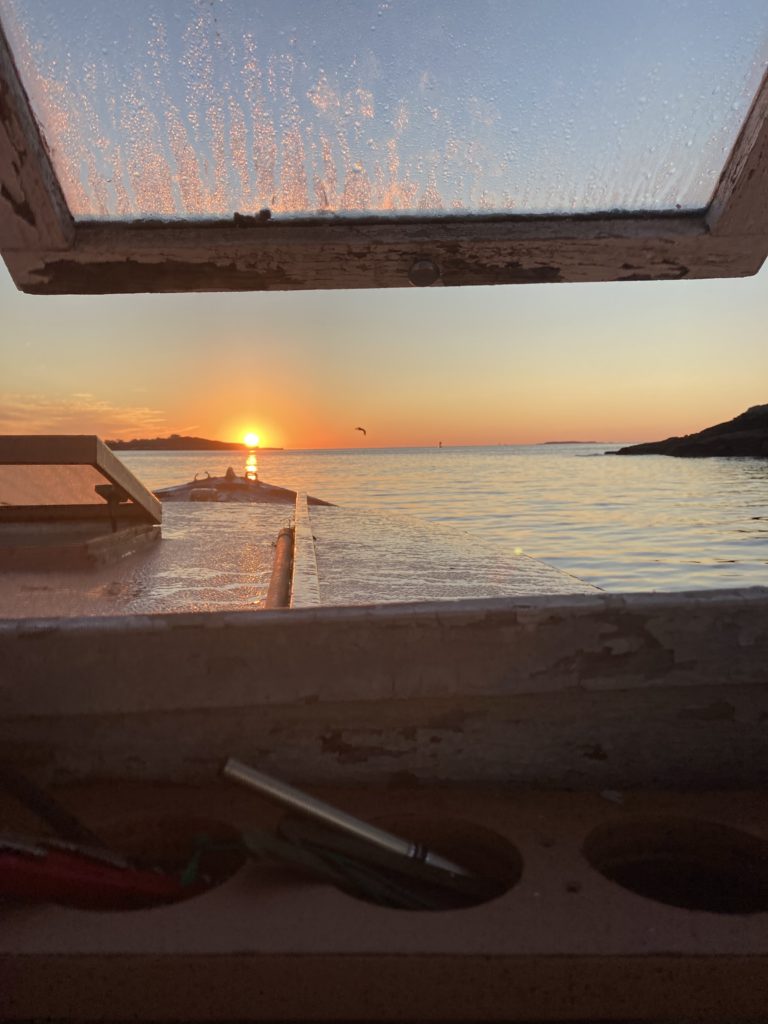
ODN is contracted by the Office of Naval Research (ONR) to supply data as part of a Task Force Ocean study area centered on the OOI Pioneer Array located in the Mid-Atlantic Bight. We have a deep sea crab fishing fleet that frequently operates in the area outfitted with temperature/depth profiling sensor systems to fill spacial gaps in the buoy array data coverage. This project highlights our ability to achieve targeted data collection based on specific stakeholder needs. This material is based upon work supported by the U.S. Office of Naval Research under Contract No. N00014-22-P-2003.
Fishing Vessel Ocean Observing Network (FVON)
Ocean Data Network is leading the emerging global network of institutions conducting collaborative ocean observation efforts with fishing vessels by forming FVON. The goals of FVON are to elevate fishing vessels as a platform for ocean observation to complement existing observation networks by filling data gaps in shelf and coastal observations. Ultimately, FVON is working to become a key component of the ocean observing networks of the future and an accepted ocean data collection network under the Global Ocean Observing System (GOOS). Activities thus far have included scientific collaborations, knowledge sharing, organizing online and in-person meetings, producing scientific analysis and literature, as well as engaging with the international ocean observation and oceanographic research communities. Learn more at https://fvon.org/.
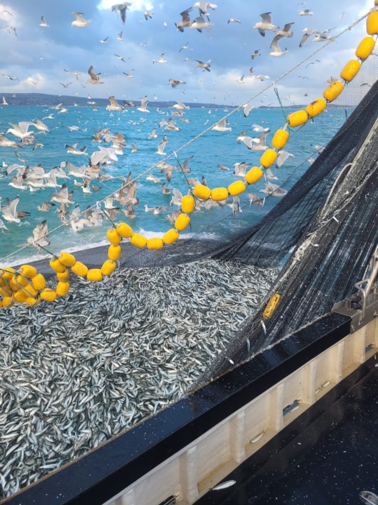
Gannet Nets
We use our sensor systems to provide near real-time seine net performance analytics. Net designers and captains use the data to tune existing nets as well as inform the design of new systems. In addition, we provide broader data analytics and engineering support to Gannet Nets.
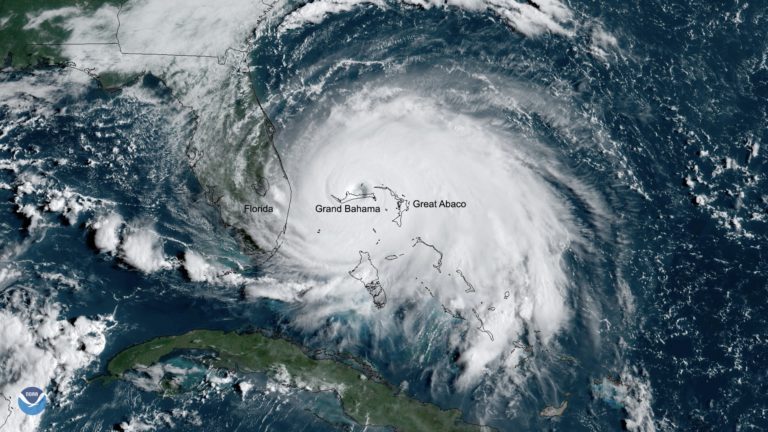
Bahamas Hurricane Forecasting Improvement Network
ODN is partnering with the Environmental Defense Fund in a project funded by Builders Initiative, to improve hurricane forecasting in the Bahamas as well as the greater Caribbean region. Tropical cyclones, called hurricanes in the Americas, are fueled by ocean heat down to 100 meters depth. While satellites do a great job measuring the sea surface temperatures, the uncertainty from not knowing conditions at depth is a key roadblock for improving forecasts. We are outfitting a network of fishing vessels operating in coastal Bahamian waters and feeding the data into the NOAA AOML and NCEP models that predict hurricane track and intensity. Increasing the amount of near shore observations will give forecasters the intelligence they need to improve disaster response efforts, saving lives and mitigating economic impacts brought on by tropical cyclone damage. As climate change increases the frequency and intensity of tropical cyclones, fishing vessel based ocean observations will be extremely valuable in building climate resilient coastal communities.
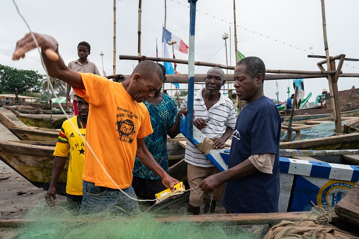
Ghana Pilot Project
Photo by Abeeku Acquah. Courtesy of Environmental Defense Fund
In collaboration with the Partnership for Observing the Global Ocean (POGO) and the University of Ghana we are initiating a pilot coastal ocean observing system in the Gulf of Guinea. There is a huge imbalance between Northern and Southern Hemispheres in the capacity to observe the oceans. Our cost effective approach to ocean observation gives local stakeholders the tools they need to build capacity within their communities to monitor ocean conditions. The data collected through this network will be integrated into local fisheries management strategy and provide critical subsurface observations to improve ocean modeling in a historically data sparse region. We hope the pilot will lay the foundation to establish a large-scale fishing vessel based ocean observation network along the entire west coast of the continent.
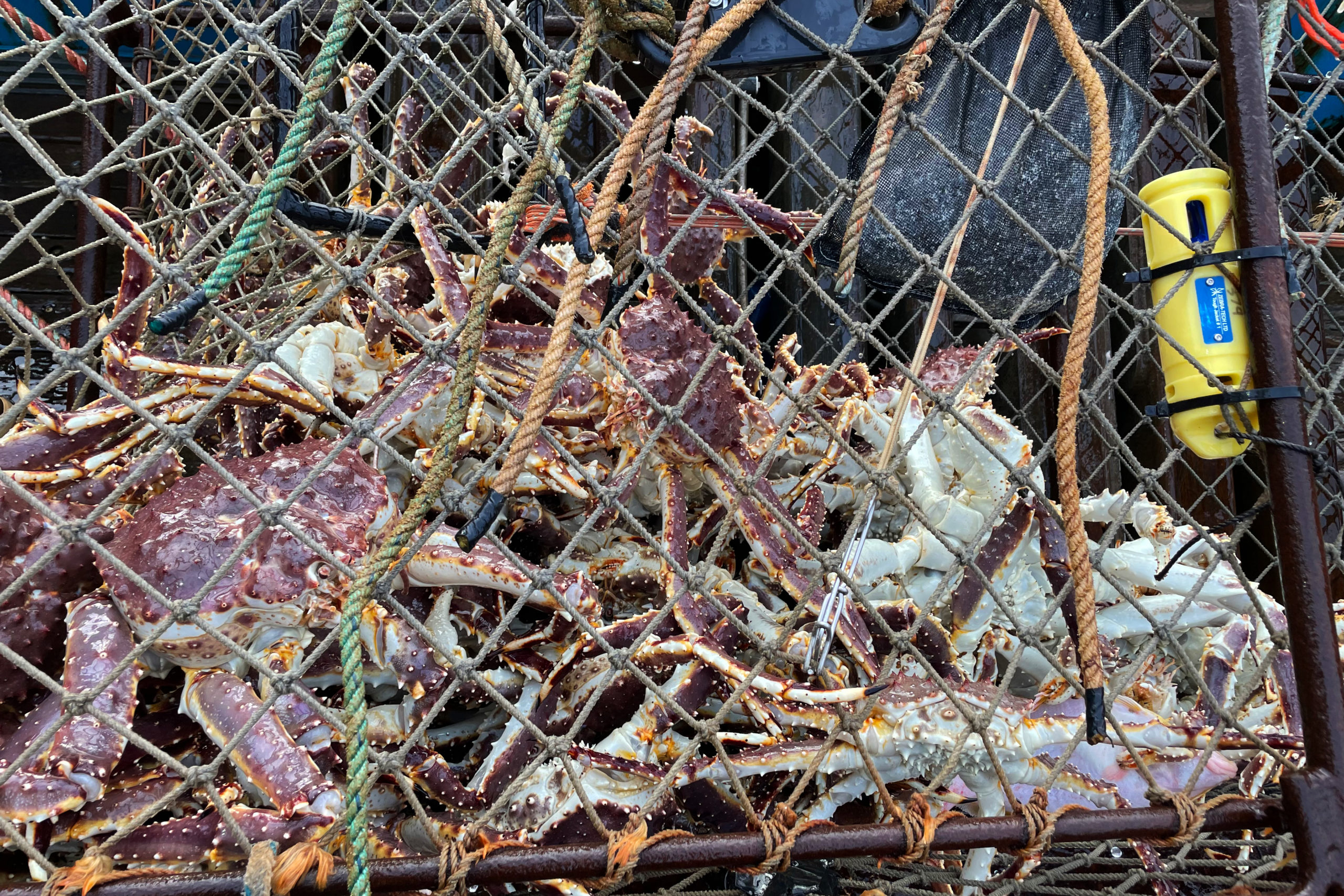
Alaska Marine Conservation Council
Photo by Cory Lescher.
Ocean Data Network provides the equipment, installation service, data management, and data analytics for fisheries research surveys conducted by the Alaska Marine Conservation Council. Most recently we provided our services for a ventless trap survey to investigate the collapse of the Alaskan Red King Crab fishery. A subset of the survey traps were outfitted with our temperature depth data collection system and resulting data sets were compared with catch data to look for clues as to why and where the crabs may be moving.
eMOLT
Environmental monitoring on lobster traps (eMOLT) is a long-running program started by NOAA fisheries and Gulf of Maine Lobster Foundation collecting real time bottom temperature data on fishing gear along the New England coast. ODN aids with software development, data management, and field maintenance/installation.
Stonehill College Drifter Program
We support the Stonehill College Drifter Program, providing the backend cloud-based data management, quality control, and ERDDAP serving for student-built drifters with a program led by Dr. Kristin Burkholder.
Alaska Trollers Association eLogbook Program
ODN’s latest industry driven project involves running the data management and dissemination for an electronic logbook program based in the southeast Alaska salmon troll fishery. This ambitious program has captains collecting a wide range of biological, chemical, and physical data including catch composition, forage fish species distribution, subsurface temperature, salinity, and many other variables. The data will be delivered to the Alaska Department of Fish & Game and researchers at the University of Alaska to aid in stock assessments and improve understanding of how ecosystem variability impacts fish distributions.
IoT in the Sea
Iot in the Sea is a new project headed up by the Cape Cod Commercial Fishermen’s Alliance outfitting commercial fishing vessels with temperature/depth sensors. ODN is in charge of supplying sensors, creating pilot house data visualization tools, and software development. Visualization tools are tailored to display target species temperature zones to increase fishing efficiency and reduce bycatch. This project is in collaboration with NOAA fisheries, Cape Cod Commercial Fishermen’s Alliance, Gulf of Maine Lobster Foundation, and Lowell Instruments
GoMFWN
Gulf of Maine Fishing Weather Network (GoMFWN) is our current research and development project. We are working on outfitting a network of boats along the coast of Maine with research quality weather stations. The improved offshore forecast accuracy this network provides will increase operational safety and efficiency for all stakeholders working in the Gulf of Maine. This project will provide the GoM with the best maritime weather data coverage in the world and potentially serve as a model for fishing vessel based weather station networks to be established throughout the U.S and around the globe.
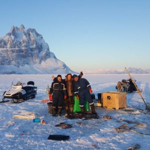
Uummannaq Oceanography
Berring Data Collective is helping to facilitate collaborative fisheries data collection with Inuit fishers in North West Greenland